two-way conversion plan DAVENPORT, IOWA APRIL 2017
|
|
|
- Branden Armstrong
- 5 years ago
- Views:
Transcription


1 3rd Street & 4th Street 3rd Street & 4th Street two-way conversion plan DAVENPORT, IOWA APRIL 2017
2 3rd Street & 4th Street 3rd Street & 4th Street two-way conversion plan DAVENPORT, IOWA APRIL 2017 prepared for: DOWNTOWN DAVENPORT PARTNERSHIP


3 1I NTRODUCTION BACKGROUND 2 2 TWO-WAY CONVERSION BENEFITS 3 CONVERSION CRITERIA 4 OTHER CONVERSION EFFORTS 5 CONCEPTUAL PLAN INTRODUCTION 7 KEY PLAN 8 THIRD STREET CONCEPTS FOURTH STREET CONCEPTS 9 21


4 introduction 1 1I NTRODUCTION In 2010, The City of Davenport adopted the Davenport-in-Motion 10 Year Comprehensive Transportation Plan. This plan established a comprehensive set of strategies to improve multiple modes of transportation throughout the City of Davenport. One of the highest short-term priorities of this study was to convert 3rd Street and 4th Street from a oneway pair of arterial streets to two-way streets with on-street parking and bike lanes. Such a conversion would provide economic benefits to downtown business while also improving the health, safety and welfare of those living and working along these corridors. The study also identified that this type of conversion was quite feasible based on traffic volumes and the existing width of the streets. This plan The 3rd & 4th Streets Two-Way Conversion Plan applies the recommendations of the Davenport-in-Motion study to the specific existing conditions of the two corridors. This includes the introduction of two-way vehicular traffic, on-street parking, and dedicated bike lanes in both directions. The purpose of this plan is to more clearly communicate the benefits of the two-way conversions and encourage stakeholder dialogue about phasing, implementation, and potential funding sources. 3RD & 4TH STREET PROPOSED CONVERSION Image source: Davenport in Motion


5 2 Introduction BACKGROUND The streets of downtown Davenport are a critical functional element of the city. This network provides vehicular access to jobs and residences, establishes a public realm by which pedestrians circulate, and acts as a front door to Davenport s rich cultural history and rapid growth. With the upward trajectory of the downtown, the importance of a highly functioning street system is critical to ensuring the future of Davenport s economic potential and the public safety of its residents. As Davenport grew outward from its initial location along the bluff parallel to the Mississippi River, both 3rd and 4th streets were initially two-way streets. In 1888, Davenport became the first city west of the Mississippi River to have an electric streetcar, running down 3rd Street until The multi-modal diversity of the streets, with two way traffic and streetcar service, was common in this period of strong growth brought on by settlers moving west into and through eastern Iowa. Equally common in the mid-20th century was vehicular-focused planning. The prevailing thought of the period resulted in rapid changes to traditional city layout. Most of the country s railbased city transit systems were removed, including Davenport s in Many downtown thoroughfares were also converted to one-way flow to move traffic into and out of downtown business districts at a high velocity. This occurred in Davenport on 3rd and 4th Streets in While one-way streets are able to efficiently move traffic from one point source to another, sideeffects have begun to be noticed and studied. These include increased difficulty in navigation due to confusing street layouts, increased overall mileage traveled per trip, decreased vehicular and pedestrian safety due to higher rates of speed, and negative economic effects due to decreased visibility for businesses along the converted streets Historically, 3rd & 4th Streets were multi-modal corridors with two-way traffic. Electric streetcars ran along 3rd Street until rd & 4th Streets were connected to a one-way pair of arterial streets to move traffic in and out of downtown more quickly Today, the ramifications of the one-way traffic patterns include decreased pedestrian safety due to higher rates of speed and decreased visibility for retailers.


6 introduction 3 TWO-WAY CONVERSION BENEFITS Many communities have debated the advantages and disadvantages of one-way versus two-way streets. Often the debate is centered on the balancing of safety and economic benefits with the desire for vehicular traffic to move quickly and efficiently. Generally, the advantages of two-way traffic are as follows: Safety One-way traffic encourages higher speeds and decreased driver attention. Less stopping on one-way streets is more difficult for pedestrians and bicycles to cross. Economic Vitality Two-way streets simplify way-finding and minimize confusion and frustration for visitors, shoppers, and those less familiar with the downtown. 2ND STREET TWO-WAY TRAFFIC Two-way streets increase visibility to retailers by allowing traffic moving in both directions to see storefronts and signage. Traffic Flow While the common assumption is that oneway traffic provides more efficient traffic flow, recent research shows that two-way traffic may be as efficient (or better) based on Trip Serving Capacity. This is a measurement of how quickly you reach your destination. In many trip scenarios, the extra driving time required to pass your destination on a one-way arterial and then return on the other arterial negates any traffic flow efficiency. 3RD STREET ONE-WAY TRAFFIC
7 4 Introduction CONVERSION CRITERIA While the advantages of converting one-way streets to two-way streets may seem compelling, research and practice suggest that many factors should be considered prior to conversion. The following criteria have been extracted from Converting Oneway Streets to Two-way: Managing Traffic on Main Street by John D. Edwards. Following the criteria description is a summary of the current conditions in Downtown Davenport and whether the criteria is met. In addition to the list of informal criteria, the following plan reflects changes made after careful review and feedback from Davenport Public Works Staff. CRITERIA DAVENPORT CONDITION CRITERIA MET? Will it help revitalization efforts? Two-way traffic is typically very helpful for recovering retail districts. A survey of 25 communities was conducted where all experienced reductions in vacant first floor space and some reported substantial private investments following the twoway conversion. Caution should be used when the area is heavy office, warehouse, and/or industrial with heavy peak hour traffic. What type of traffic flow? Two-way traffic is helpful when the traffic flow includes destinations within the corridor. If most traffic is throughway traffic with few people stopping at downtown destinations, then the conversion may have little impact on revitalization. Davenport has experienced growth over the past decade in retailing, restaurants, and first floor uses but these corridors are still in transition as part of an overall downtown revitalization effort. Within the downtown, a mix of office, retail, and residential uses mitigates heavy peak hour traffic. Particularly in the downtown area, numerous destinations exist along both 3rd and 4th Streets. Offices, residences, government centers, convention facilities, restaurants, and retailers are found along both corridors. What is the traffic volume? If both streets exceed 15,000 vehicles per day with no reasonable by pass route, then the conversion may increase congestion. According to Iowa Department of Transportation Average Daily Traffic (ADT) volumes, the peak ADT along 3rd Street is 11,000 and 9,300 along 4th Street with less volume east and west of the downtown core. In addition, River Drive (U.S. Highway 67) functions as a bypass route for the downtown. How wide is the street? Street width should be sufficient to accommodate the two-way traffic and on-street parking. The typical width of 3rd Street and 4th Street is 55-feet. This dimension accommodates two moving lanes of traffic with a dedicated left turn lane, two dedicated bike lanes, and parallel parking along both sides of the street.

8 introduction 5 OTHER CONVERSION EFFORTS Cities throughout the United States are planning for or have recently completed one-way street conversions to two-way traffic. Cedar Rapids, Muscatine, Des Moines, Louisville, Austin, Berkley, Cambridge, Chattanooga, Cincinnati, Columbus, Fargo, Sacramento, Tampa, St. Petersburg, Salina (KS), Kansas City, Denver, Dallas, Lubbock, Vancouver, Napa, are just a few of these communities. FRONT STREET COLUMBUS, OHIO The following is a summary of recent conversions in Columbus, Fargo, and Louisville that have made positive impacts on their downtown vitality and public safety. Columbus, Ohio Columbus, Ohio converted two downtown arterial one-way streets (Front Street and Civic Center Drive) to two-way traffic in The main goal of the project was to improve traffic flow and reduce speeds to encourage development along both corridors. In addition to the traffic flow conversion through striping and signalization changes, the road was repaved, bike lanes were added, streetscape improvements were made through new planters, trees, and sidewalks, and utilities were either relocated or improved. Many of these improvements were completed because the additional enhancement to the project allowed for increased state and federal funding availability, which would not have been available to a strict re-striping and signalization project. Public perception of the project has been very positive. There was no resistance to the conversion, likely stemming from the lack of retail or residential along the corridor when the project was initiated. Many of the existing government buildings along the corridors were supportive of the project due to the improved vehicular/ pedestrian interfaces and reduced speeds. Since completion, the area surrounding the conversion has seen a drastic increase in mixed-use redevelopment. A second phase of the conversion is currently planned and is waiting on additional funding.


9 6 Introduction NORTHERN PACIFIC AVENUE FARGO, NORTH DAKOTA BROOK STREET LOUISVILLE, KENTUCKY IOWA PROJECTS CEDAR RAPIDS MUSCATINE Fargo, North Dakota The conversion of two streets to two-way traffic in Fargo, North Dakota, has resulted in major growth in downtown mixed-use development. The project was implemented as strictly striping and signalization improvements, with longterm phased future streetscape improvements, protected bike lanes, repaving, and utility work as city budgets allow. Pre-construction support was split between downtown business owners, who welcomed increased visibility and pedestrian accessibility, and the general public who had concerns over driving confusion and increased congestion. Since installation, feedback from both parties has been positive, with no additional concerns on congestion or circulation. Development has also been spurred along both corridors, in coordination with streetscape improvements made on cross streets. Louisville, Kentucky In 2011, Louisville, Kentucky converted two residential one-way streets to two-way traffic. Analysis of these two converted streets has been compared to two adjacent one-way streets to provide additional information on the potential effects of street conversions. Research of the 4 total streets has shown a drop in collisions of 36% and 60% on the two converted streets, even while they have seen an increase in traffic volume of 13% and 40%, compared to their preconversion rates. Crime has also shown to be reduced, by 15% and 30%, and property values have increased 11.6% and 2.8%. While causation has not been determined, the correlations between two-way streets and collision rates, crime rates, and property values suggests that two-way streets contribute more to their surrounding neighborhood and users than one-way streets. CEDAR RAPIDS
 to the existing conditions of the corridors in")


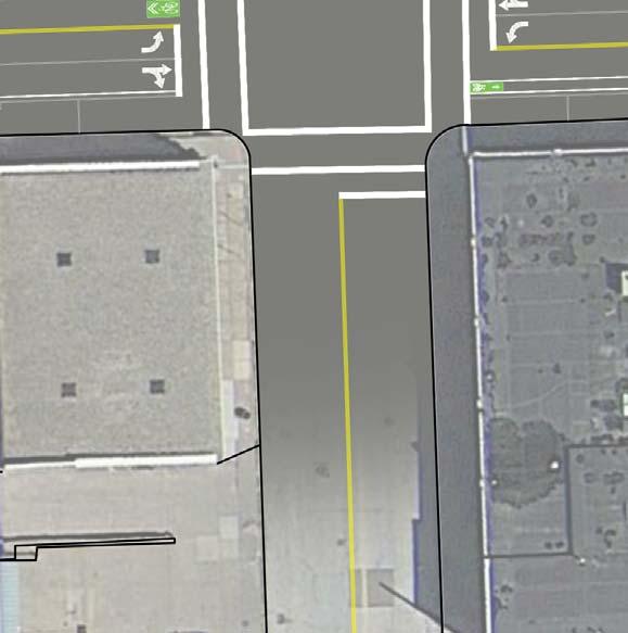
10 conceptual plan 7 2C ONCEPTUAL PLAN In order to further understand the potential for converting 3rd and 4th Streets to two-way traffic, this plan has applied the recommended street sections (from the Davenport in Motion Study) to the existing conditions of the corridors in order to create conceptual roadway plans. In addition to the lane recommendations for vehicular travel, bike travel and parallel parking, the plan also considers existing parcel access (i.e. curb cuts), loading zones, and bus stop locations. The implementation costs for the conversion of one-way streets to two-way traffic can vary greatly. Relatively affordable aspects of these projects include paint striping and modifications of traffic control signage. A more costly aspect of conversion projects is often the changes required to existing signalized intersections. The following roadway plans identify recommendations for each intersection in these corridors. In many instances, an additional signal is required to accommodate the new direction of traffic. At other intersections, recommendations are made to eliminate signals in favor of stop control provided by stop signs. These intersection recommendations will require further study to better understand the ideal treatment that will best balance safety and vehicular traffic flow. 3RD STREET EXISTING 3RD STREET PROPOSED 4TH STREET EXISTING 4TH STREET PROPOSED


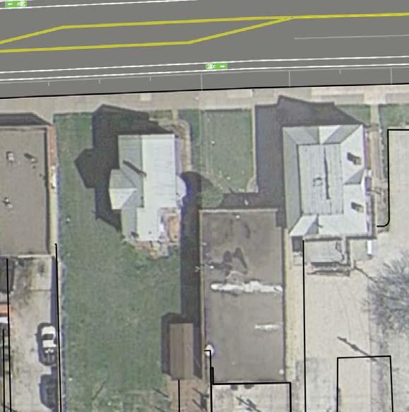
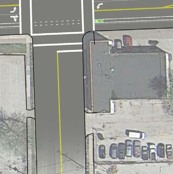
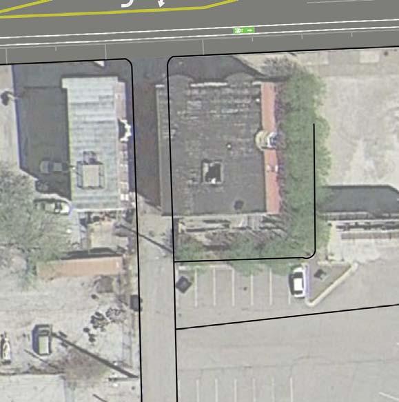
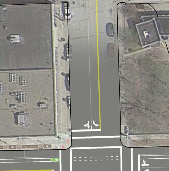
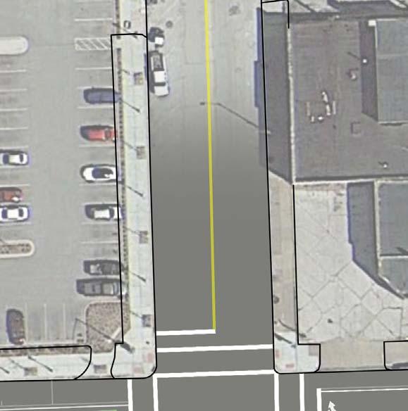
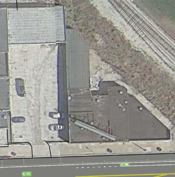
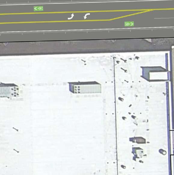
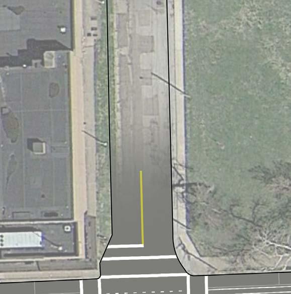
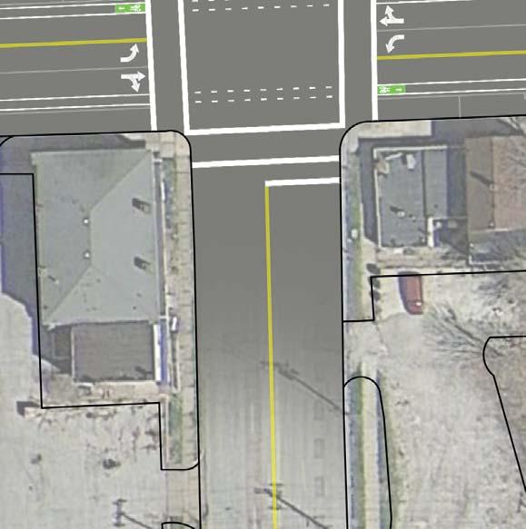
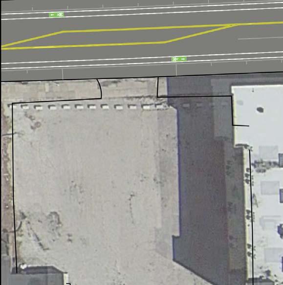
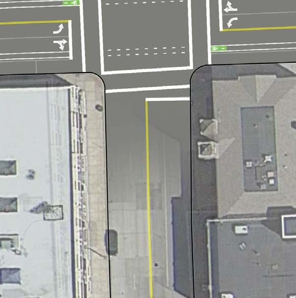
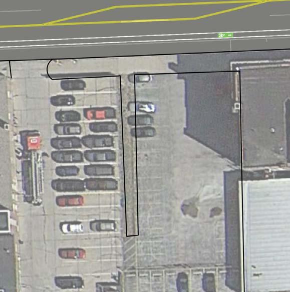
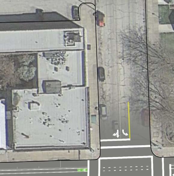
11 8 conceptual plan KEY PLAN The following pages display the conceptual plans for each segment of the 3rd and 4th Street corridors from Marquette Street to East River Drive. MARQUETTE STREET MYRTLE STREET WARREN STREET BROWN STREET GAINES STREET WESTERN AVENUE SCOTT STREET RIPLEY STREET HARRISON STREET MAIN STREET BRADY STREET PERRY STREET PERSHING STREET PERSHING AVENUE RIVER DRIVE 4TH STREET 1 4TH STREET 2 4TH STREET 3 4TH STREET 4 4TH STREET 5 4TH STREET 6 4TH STREET 7 4TH STREET 8 4TH STREET 9 4TH STREET 10 4TH STREET 11 4TH STREET 12 4TH STREET 13 4TH STREET 3RD STREET 3RD STREET 1 3RD STREET 2 3RD STREET 3 3RD STREET 4 3RD STREET 5 3RD STREET 6 3RD STREET 7 3RD STREET 8 3RD STREET 9 3RD STREET 10 3RD STREET 11 3RD STREET 12 2ND STREET RIVER DRIVE

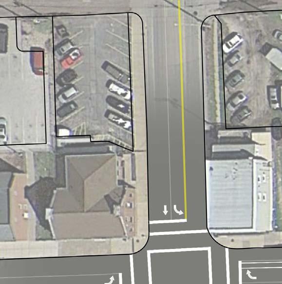
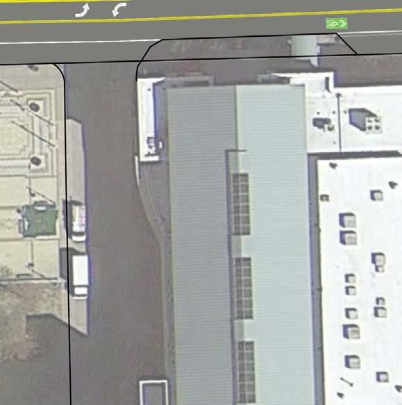
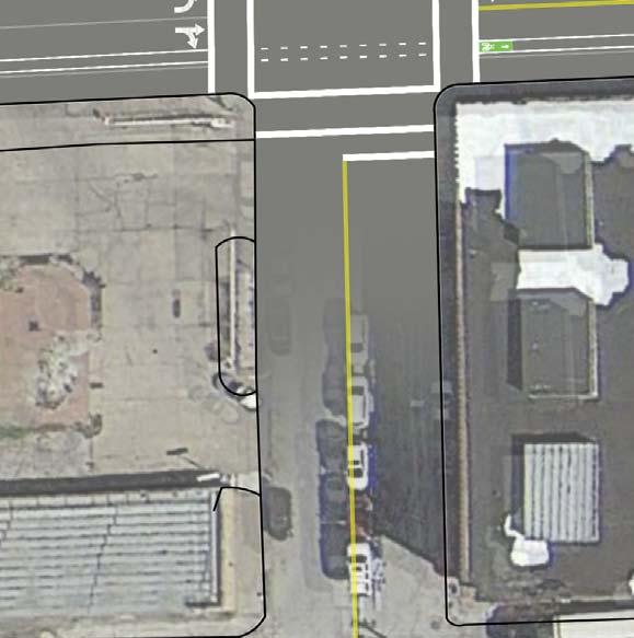
12 NORTH MARQUETTE STREET conceptual plan 9 3RD STREET 1 3RD & MARQUETTE 4 TRAFFIC SIGNALS NEW CONTROLLER

13 MYRTLE STREET 10 conceptual plan 3RD STREET 2 3RD & MYRTLE 2 STOP SIGNS ON MYRTLE NO CHANGES


14 conceptual plan 11 3RD STREET 3 LOADING ZONE BUS STOP 3RD & WARREN 2 STOP SIGNS ON WARREN (4 STOP SIGNS POTENTIAL) WARREN STREET

15 BROWN STREET 12 conceptual plan 3RD STREET 4 3RD & BROWN 2 STOP SIGNS ON BROWN NO CHANGES


16 conceptual plan 13 3RD STREET 5 3RD & GAINES 4 TRAFFIC SIGNALS RESTRIPE GAINES NEW CONTROLLER GAINES STREET 3RD & WESTERN 2 STOP SIGNS ON WESTERN NO CHANGES WESTERN AVENUE


17 SCOTT STREET MA TC HL IN E 14 conceptual plan 3RD & SCOTT 2 STOP SIGNS ON SCOTT (4 STOP SIGN POTENTIAL) BUS STOP BUS STOP 3RD STREET 6


")


18 conceptual plan 15 3RD STREET 7 3RD & RIPLEY 4 TRAFFIC SIGNALS (POTENTIAL NEW CONTROLLER) LOADING ZONE LOADING ZONE LOADING ZONE NORTH RIPLEY STREET 3RD & HARRISON 2 TRAFFIC SIGNALS NORTH HARRISON AVENUE

19 NORTH MAIN STREET 16 conceptual plan 3RD STREET 8 3RD & MAIN 4 TRAFFIC SIGNALS NEW CONTROLLER LOADING ZONE

20 BRADY STREET conceptual plan 17 3RD STREET 9 3RD & BRADY 2 TRAFFIC SIGNALS LOADING ZONE LOADING ZONE

21 PERSHING AVENUE 18 conceptual plan 3RD STREET 10 3RD & PERSHING 4 STOP SIGNS OR 4 SIGNALS WITH NEW CONTROLLER


22 conceptual plan 19 3RD STREET 11 3RD & IOWA 4 TRAFFIC SIGNALS WITH NEW CONTROLLER OR 4 STOP SIGNS 3RD & LECLAIRE 2 STOP SIGNS ON LECLAIRE LECLAIRE STREET IOWA STREET NO CHANGES
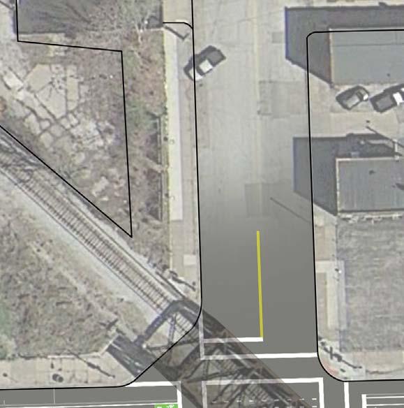
23 20 conceptual plan 3RD STREET 12 3RD & RIVER DRIVE NEW CONTROLLER EAST RIVER DRIVE
24 conceptual plan 21 4TH STREET 1 4TH & MARQUETTE NORTH MARQUETTE STREET NO CHANGES

25 MYRTLE STREET 22 conceptual plan 4TH STREET 2 4TH & MYRTLE 1 STOP SIGN ON MYRTLE NO CHANGES LOADING ZONE
26 conceptual plan 23 4TH STREET 3 4TH & WARREN 2 STOP SIGNS ON WARREN WARREN STREET

27 BROWN STREET 24 conceptual plan 4TH STREET 4 4TH & BROWN 2 STOP SIGNS ON BROWN NO CHANGES


28 WESTERN AVENUE conceptual plan 25 4TH STREET 5 4TH & GAINES 4 TRAFFIC SIGNALS BUS STOP NORTH GAINES STREET 4TH & WESTERN 2 STOP SIGNS ON WESTERN 4 TRAFFIC SIGNALS OR 4 STOP SIGNS

29 SCOTT STREET 26 conceptual plan 4TH STREET 6 4TH & SCOTT 2 STOP SIGNS ON SCOTT 4 STOP SIGNS


30 conceptual plan 27 4TH STREET 7 4TH & RIPLEY 2 STOP SIGNS ON RIPLEY 4TH & HARRISON 2 TRAFFIC SIGNALS NORTH HARRISON STREET NORTH RIPLEY STREET

31 NORTH MAIN STREET 28 conceptual plan 4TH STREET 8 4TH & MAIN 4 TRAFFIC SIGNALS LOADING ZONE LOADING ZONE


32 BRADY STREET conceptual plan 29 4TH STREET 9 4TH & BRADY 2 TRAFFIC SIGNALS PERRY STREET BUS STOP 4TH & PERRY 1 STOP SIGN ON PERRY NO CHANGES

33 PERSHING AVENUE 30 conceptual plan 4TH STREET 10 4TH & PERSHING 4 STOP SIGNS


34 conceptual plan 31 MATC HLIN E MA TC HLINE LECLAIRE STREET IOWA STREET 4TH STREET 11 4TH & IOWA 4 TRAFFIC SIGNALS OR 4 STOP SIGNS 4TH & LECLAIRE 1 STOP SIGN ON LECLAIRE NO CHANGES

35 32 conceptual plan 4TH STREET 12 YM CA E AR LY LE AR NI NG C EN TE R
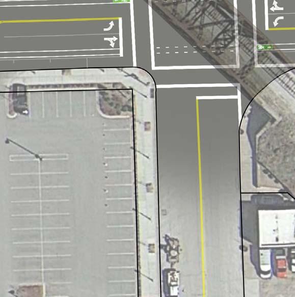
36 conceptual plan 33 4TH STREET 13 4TH & RIVER DRIVE NO STOPS EAST RIVER DRIVE
CORE AREA SPECIFIC PLAN
 only four (A, B, D, and F) extend past Eighth Street to the north, and only Richards Boulevard leaves the Core Area to the south. This street pattern, compounded by the fact that Richards Boulevard is
Service Quality: Higher Ridership: Very Affordable: Image:
 Over the past decade, much attention has been placed on the development of Bus Rapid Transit (BRT) systems. These systems provide rail-like service, but with buses, and are typically less expensive to
Capital Metro Downtown Multimodal Station
 Capital Metro Downtown Multimodal Station Stakeholder Briefing December 11, 2015 Agenda 1 2 3 4 5 Project Summary Downtown Station Concept Evaluation 4 th Street Traffic Analysis 5 th Street Traffic Analysis
BROWARD BOULEVARD CORRIDOR TRANSIT STUDY
 BROWARD BOULEVARD CORRIDOR TRANSIT STUDY FM # 42802411201 EXECUTIVE SUMMARY July 2012 GOBROWARD Broward Boulevard Corridor Transit Study FM # 42802411201 Executive Summary Prepared For: Ms. Khalilah Ffrench,
METRO Orange Line BRT American Boulevard Station Options
 METRO Orange Line BRT American Boulevard Station Options Bloomington City Council Work Session November 18, 2013 Christina Morrison BRT/Small Starts Project Office Coordinating Planning and Design AMERICAN
FREQUENTLY ASKED QUESTIONS
 FREQUENTLY ASKED QUESTIONS 2018 What is the More MARTA Atlanta program? The More MARTA Atlanta program is a collaborative partnership between MARTA and the City of Atlanta to develop and implement a program
Office of Transportation Bureau of Traffic Management Downtown Parking Meter District Rate Report
 Office of Transportation Bureau of Traffic Management 1997 Downtown Parking Meter District Rate Report Introduction The City operates approximately 5,600 parking meters in the core area of downtown. 1
5. OPPORTUNITIES AND NEXT STEPS
 5. OPPORTUNITIES AND NEXT STEPS When the METRO Green Line LRT begins operating in mid-2014, a strong emphasis will be placed on providing frequent connecting bus service with Green Line trains. Bus hours
appendix 4: Parking Management Study, Phase II
 appendix 4: Parking Management Study, Phase II A4-1 A4-2 Eastlake Parking Management Study Final Phase 2 Report Future Parking Demand & Supply January 6, 2017 Submitted by Denver Corp Center III 7900 E.
Pace Bus Depot Location Analysis
 Pace Bus Depot Location Analysis Key Notes 1. Options refer to conceptual sketches prepared by Kimley Horn. 2. The depot is assumed to accommodate Pace routes as they currently exist: 17 routes on the
Midtown Corridor Alternatives Analysis. Policy Advisory Committee Meeting February 12, 2014
 Midtown Corridor Alternatives Analysis Policy Advisory Committee Meeting February 12, 2014 Today s Agenda Introductions Outreach efforts and survey results Other updates since last meeting Evaluation results
Executive Summary. Treasure Valley High Capacity Transit Study Priority Corridor Phase 1 Alternatives Analysis October 13, 2009.
 Treasure Valley High Capacity Transit Study Priority Corridor Phase 1 Alternatives Analysis October 13, 2009 Background As the Treasure Valley continues to grow, high-quality transportation connections
Northeast Corridor Alternatives Analysis. Public Involvement Round 2 Input on Alternatives for Further Study
 Northeast Corridor Alternatives Analysis Public Involvement Round 2 Input on Alternatives for Further Study Feb. 7-9, 2012 Agenda Review project background Progress summary Recommended alternatives for
Restoration of Historic Streetcar Services in Downtown Los Angeles
 Restoration of Historic Streetcar Services in Downtown Los Angeles Early Scoping Meeting for Alternatives Analysis (AA) May 17, 2011 Introduction Key players Local lead agency: Metro Federal lead agency:
Public Meeting. March 21, 2013 Mimosa Elementary School
 Public Meeting March 21, 2013 Mimosa Elementary School Today s Meeting Purpose 2 Where We Are The Process What We ve Heard and Findings Transit Technologies Station Types Break-out Session Where We Are
CITY OF ANN ARBOR, MICHIGAN 301 E. Huron St., P.O. Box 8647 Ann Arbor, Michigan
 Date: Wednesday, June 18, 2014 Location: Ann Arbor District Library Attendees: 14 citizen attendees Ann Arbor Station Environmental Review Citizen Working Group Meeting Notes Meeting #3 The third meeting
Executive Summary EXECUTIVE SUMMARY Parking Issues Trenton Downtown Parking Policy and Sidewalk Design Standards E.S. Page 1 Final Report 2008
 EXECUTIVE SUMMARY A walkable environment that accommodates market demand while minimizing the negative impacts of growth is an important element in promoting the City s downtown revitalization. There are
Kendall Drive Premium Transit PD&E Study Project Kick-Off Meeting SR 94/Kendall Drive/SW 88 Street Project Development and Environment (PD&E) Study
 Study") Florida Department of Transportation District Six Kendall Drive Premium Transit PD&E Study Project Kick-Off Meeting SR 94/Kendall Drive/SW 88 Street Project Development and Environment (PD&E) Study What
Florida Department of Transportation District Six Kendall Drive Premium Transit PD&E Study Project Kick-Off Meeting SR 94/Kendall Drive/SW 88 Street Project Development and Environment (PD&E) Study What
STH 60 Northern Reliever Route Feasibility Study Report
 #233087 v3 STH 60 Northern Reliever Route Feasibility Study Report Washington County Public Works Committee Meeting September 28, 2016 1 STH 60 Northern Reliever Route Feasibility Study Hartford Area Development
Waco Rapid Transit Corridor (RTC) Feasibility Study
 Feasibility Study") Waco Rapid Transit Corridor (RTC) Feasibility Study Chris Evilia, Director of Waco Metropolitan Planning Organization Allen Hunter, General Manager Waco Transit System Jimi Mitchell, Project Manager AECOM
Waco Rapid Transit Corridor (RTC) Feasibility Study Chris Evilia, Director of Waco Metropolitan Planning Organization Allen Hunter, General Manager Waco Transit System Jimi Mitchell, Project Manager AECOM
US 81 Bypass of Chickasha Environmental Assessment Public Meeting
 US 81 Bypass of Chickasha Environmental Assessment Public Meeting March 14, 2013 Introductions ODOT FHWA SAIC Meeting Purpose Present need for bypass Provide responses to 10/04/11 public meeting comments
EUGENE-SPRINGFIELD, OREGON EAST WEST PILOT BRT LANE TRANSIT DISTRICT
 EUGENE-SPRINGFIELD, OREGON EAST WEST PILOT BRT LANE TRANSIT DISTRICT (BRIEF) Table of Contents EUGENE-SPRINGFIELD, OREGON (USA)... 1 COUNTY CONTEXT AND SYSTEM DESCRIPTION... 1 SYSTEM OVERVIEW... 1 PLANNING
PEACHTREE CORRIDOR PARTNERSHIP. Current Status & Next Steps
 PEACHTREE CORRIDOR PARTNERSHIP Current Status & Next Steps PEACHTREE CORRIDOR PARTNERSHIP Why Peachtree? Why Now? I. THE CONTEXT High Level View of Phasing Discussion Potential Ridership Segment 3 Ease
4 Circulation & Transportation
 4.1 Mobility Network The mobility network at the new St. Paul s hospital and health campus is comprised of an interconnected system of sidewalks, cycle paths, transit routes and roadways. Figure 4-1: Indicative
Pedestrians, Cars, Buses and Trains? Considerations for Rapid Transit Service at Western University
 Pedestrians, Cars, Buses and Trains? Considerations for Rapid Transit Service at Western University Shift: The City of London s Rapid Transit Proposal Shift: The City of London s Rapid Transit Proposal
CITY OF LONDON STRATEGIC MULTI-YEAR BUDGET ADDITIONAL INVESTMENTS BUSINESS CASE # 6
 2016 2019 CITY OF LONDON STRATEGIC MULTI-YEAR BUDGET ADDITIONAL INVESTMENTS BUSINESS CASE # 6 STRATEGIC AREA OF FOCUS: SUB-PRIORITY: STRATEGY: INITIATIVE: INITIATIVE LEAD(S): BUILDING A SUSTAINABLE CITY
EXECUTIVE SUMMARY. Introduction
 EXECUTIVE SUMMARY Introduction The purpose of this study is to ensure that the Village, in cooperation and coordination with the Downtown Management Corporation (DMC), is using best practices as they plan
King County Metro. Columbia Street Transit Priority Improvements Alternative Analysis. Downtown Southend Transit Study. May 2014.
 King County Metro Columbia Street Transit Priority Improvements Alternative Analysis Downtown Southend Transit Study May 2014 Parametrix Table of Contents Introduction... 1 Methodology... 1 Study Area...
Space holder to add drone footage/movie
 RALEIGH OVERVIEW Space holder to add drone footage/movie 2 Raleigh, North Carolina 3 Raleigh is centrally located on the eastern seaboard approximately midway between Maine and Miami, Florida 4 Capturing
Midtown Corridor Alternatives Analysis Key Issues Memo
 Midtown Corridor Alternatives Analysis Key Issues Memo 1/4/2013 Prepared by the SRF Consulting Group Team for Table of Contents Introduction... 1 1. Markets... 1 External Markets... 1 Intra-Corridor Travel...
West Broadway Transit Study. Community Advisory Committee September 17, 2015
 West Broadway Transit Study Community Advisory Committee September 17, 2015 Introductions Community Engagement Summer Outreach Fall Outreach Technical Analysis Process Update Alternatives Review Economic
SPEED HUMP POLICY and PROCEDURES for RESIDENTIAL AREAS
 SPEED HUMP POLICY and PROCEDURES for RESIDENTIAL AREAS City of Panama City, Florida Public Works Department 9 Harrison Avenue Panama City, Florida 32401 Phone: (850) 872-3015 Effective 1/22/08 Table of
Green Line Long-Term Investments
 Enhancements Short-term improvements to keep Austin moving. Investments Long-term projects to support our future. Mobility Hubs MetroRapid MetroRail MetroExpress Connectors Circulators Project Connect
Pacific Electric Right-of-Way / West Santa Ana Branch Corridor Alternatives Analysis
 Pacific Electric Right-of-Way / West Santa Ana Branch Corridor Alternatives Analysis Transit Coalition September 26, 2012 2 Study Area Pacific Electric Rightof-Way/West Santa Ana Branch (PEROW/ WSAB) extends
Making Mobility Better, Together
 Making Mobility Better, Together Austin Transportation Department Gordon Derr, P.E., for Robert J. Spillar, P.E Director, Austin Transportation Department 1 AUSTIN TRANSPORTATION DEPARTMENT Our Mission
2030 Multimodal Transportation Study
 2030 Multimodal Transportation Study City of Jacksonville Planning and Development Department Prepared by Ghyabi & Associates April 29,2010 Introduction Presentation Components 1. Study Basis 2. Study
This letter summarizes our observations, anticipated traffic changes, and conclusions.
 Mr. David Jorschumb Project Manager Boulder Valley School District Re: Review of proposed school access improvements at the Foothills Elementary School in Boulder Dear Mr. Jorschumb, At your request, the
Connect. Thrive. Develop. KC Streetcar Riverfront Extension & Multi-Modal Feasibility Study
 Connect. Thrive. Develop. Why go to the Riverfront? KC Streetcar is a proven catalyst for development & connecting people to Downtown. < $2 billion in adjacent development: new businesses, hotels, apartments
Revised Strategy for Downtown Parking
 Revised Strategy for Downtown Parking December 4, 2017 Council Workshop Presented by Jennifer McCoy, P.E., City Traffic Engineer City-Owned Parking Today 3,500 metered parking spaces Parking meters charge
Central City Line Locally Preferred Alternative (LPA) Amendment Public Hearing. July 24, 2014
 Amendment Public Hearing. July 24, 2014") Central City Line Locally Preferred Alternative (LPA) Amendment Public Hearing July 24, 2014 Project Description The Central City Line is a High Performance Transit project that will extend from Browne
Central City Line Locally Preferred Alternative (LPA) Amendment Public Hearing July 24, 2014 Project Description The Central City Line is a High Performance Transit project that will extend from Browne
vision42
 vision42 www.vision42.org vision42 auto-free light rail boulevard for 42nd Street Roxanne Warren, AIA, Chair George Haikalis, ASCE, Co-Chair Institute for Rational Urban Mobility,Inc. www.vision42.org
Public Meeting. June 15, :30 7:30 p.m.
 Public Meeting June 15, 2017 5:30 7:30 p.m. Welcome 2015 Naval Station Norfolk Transit Extension Study 2015 Naval Station Norfolk Transit Extension Study 2017 Norfolk Westside Transit Study HRT and the
TRANSPORTATION REVIEW
 TRANSPORTATION REVIEW - PROPOSED MIX OF LAND USES IS CONSISTENT WITH THE CITY S UNDER THE GRANVILLE BRIDGE POLICIES THAT AIM TO MEET NEIGHBOURING RESIDENTS SHOPPING NEEDS AND REDUCE RELIANCE ON AUTOMOBILE
Welcome. Green Line in Your Community
 Welcome Green Line in Your Community Today's session will provide you with information about Administration's recommendation for connecting the Green Line in the Beltline to Victoria Park and Inglewood/Ramsay
Revised Evaluation Scores. System Preservation
 Revised Evaluation s System Preservation This page provides a summary of any revisions made to the draft scores presented at the October th Attributable Funds mmittee meeting. The information below highlights
CTA Blue Line Study Area
 CTA Blue Line Study Area HISTORY OF THE CTA BLUE LINE / I-290 SYSTEM Blue Line / I-290 infrastructure is 55 years old First integrated transit / highway facility in the U.S. PROJECT STUDY AREA EXISTING
Tempe Streetcar. March 2, 2016
 Tempe Streetcar March 2, 2016 Tempe Profile 40 sq. miles, highest density in state University Town, center of region Imposed growth boundaries (density increase) Mixed use growth/intensifying land use
Executive Summary. Draft Environmental Impact Statement/Environmental Impact Report ES-1
 Executive Summary Introduction The Eastside Transit Corridor Phase 2 Project is a vital public transit infrastructure investment that would provide a transit connection to the existing Metro Gold Line
Dixie Transportation Planning Office
 A project must be given a yes rating on items 1 & 2 in order to be prioritized. Sponsor: St. George City Project: Pioneer Parkway Type: Road Widening and Reconstruction Rev. 9/17/2010 Dixie Transportation
Chapter 4 : THEME 2. Transportation
 Chapter 4 : THEME 2 Strengthen connections to keep the Central Area easy to reach and get around 55 Figure 4.2.1 Promote region-wide transit investments. Metra commuter rail provides service to the east,
Proposed Program of Interrelated Projects
 DALLAS AREA RAPID TRANSIT Proposed Program of Interrelated Projects Federal Transit Administration Capital Investment Program Summer 204 INTRODUCTION The current federal transportation bill, Moving Ahead
Parking Management Element
 Parking Management Element The State Transportation Planning Rule, adopted in 1991, requires that the Metropolitan Planning Organization (MPO) area implement, through its member jurisdictions, a parking
CEDAR AVENUE TRANSITWAY Implementation Plan Update
 CEDAR AVENUE TRANSITWAY Implementation Plan Update EECUTIVE SUMMARY DECEMBER 2015 Executive Summary In 2013, the Twin Cities metropolitan area s first bus rapid transit (BRT) line, the METRO Red Line,
US 29 Bus Rapid Transit Planning Board Briefing. February 16, 2017
 US 29 Bus Rapid Transit Planning Board Briefing February 16, 2017 Project Goals Improve the quality of transit service Improve mobility opportunities and choices Enhance quality of life Support master
Develop ground transportation improvements to make the Airport a multi-modal regional
 Project Overview TRANSPORTATION IMPROVEMENTS WHAT ARE THE PROJECT GOALS? Transportation transportation hub. Develop ground transportation improvements to make the Airport a multi-modal regional Land Use
RE: 67/71 Marquette Avenue Redevelopment Transportation Overview
 1223 Michael Street, Suite 100, Ottawa, Ontario K1J 7T2 Tel: 613.738.4160 Fax: 613.739.7105 www.delcan.com April 23, 2014 OUR REF: TO3157TOA00 BY EMAIL: mark.larose@urbanrisedevelopment.com Urban Rise
Public Meeting. City of Chicago Department of Transportation & Department of Housing and Economic Development
 Public Meeting City of Chicago Department of Transportation & Department of Housing and Economic Development Funded by Regional Transportation Authority September 12, 2011 In partnership with Presentation
TRAVEL DEMAND FORECASTS
 Jiangxi Ji an Sustainable Urban Transport Project (RRP PRC 45022) TRAVEL DEMAND FORECASTS A. Introduction 1. The purpose of the travel demand forecasts is to assess the impact of the project components
Address Land Use Approximate GSF
 M E M O R A N D U M To: Kara Brewton, From: Nelson\Nygaard Date: March 26, 2014 Subject: Brookline Place Shared Parking Analysis- Final Memo This memorandum presents a comparative analysis of expected
2.1 TRANSIT VISION 2040 FROM VISION TO ACTION. Expand regional rapid transit networks STRATEGIC DIRECTION
 TRANSIT VISION 2040 FROM VISION TO ACTION TRANSIT VISION 2040 defines a future in which public transit maximizes its contribution to quality of life with benefits that support a vibrant and equitable society,
Central Loop Bus Rapid Transit
 Central Loop Bus Rapid Transit Transportation Goals of the Chicago Central Area ACTION Plan, page 2-6 Central Area Plan Improve Transit in Central Area Improve Pedestrian Environment Manage Traffic Circulation
LAWRENCE TRANSIT CENTER LOCATION ANALYSIS 9 TH STREET & ROCKLEDGE ROAD / 21 ST STREET & IOWA STREET LAWRENCE, KANSAS
 LAWRENCE TRANSIT CENTER LOCATION ANALYSIS 9 TH STREET & ROCKLEDGE ROAD / 21 ST STREET & IOWA STREET LAWRENCE, KANSAS TRAFFIC IMPACT STUDY FEBRUARY 214 OA Project No. 213-542 TABLE OF CONTENTS 1. INTRODUCTION...
Parking and Curb Space Management Element
 Parking and Curb Space Management Element An Element of the Arlington Master Transportation Plan (MTP) Civic Federation Meeting November 10th, 2009 Background 2 MTP Goals and Policies Document adopted
Fresno County. Sustainable Communities Strategy (SCS) Public Workshop
 Public Workshop") Fresno County Sustainable Communities Strategy (SCS) Public Workshop Project Background Senate Bill 375 Regional Transportation Plan (RTP) Greenhouse gas emission reduction through integrated transportation
Fresno County Sustainable Communities Strategy (SCS) Public Workshop Project Background Senate Bill 375 Regional Transportation Plan (RTP) Greenhouse gas emission reduction through integrated transportation
STRATEGIC PRIORITIES AND POLICY COMMITTEE MAY 5, 2016
 STRATEGIC PRIORITIES AND POLICY COMMITTEE MAY 5, 2016 Shift Rapid Transit Initiative Largest infrastructure project in the city s history. Rapid Transit initiative will transform London s public transit
DOWNTOWN CONCORD SPECIFIC PLAN
 Timeline 21-month process Tasks 1-3; Basis for the preparation of the plan (Jan. through March) Tasks 4-5; Development and Evaluation of Alternatives. Selection of Preferred Alternative. Preparation of
Requests Conditional Use Permit (Open Air Market) Staff Recommendation Approval. Staff Planner Kristine Gay
 Staff Recommendation Approval. Staff Planner Kristine Gay") Applicant Property Owner Runnymede Corp. Public Hearing April 12, 2017 City Council Election District Beach Agenda Item 10 Requests Conditional Use Permit (Open Air Market) Staff Recommendation Approval
Applicant Property Owner Runnymede Corp. Public Hearing April 12, 2017 City Council Election District Beach Agenda Item 10 Requests Conditional Use Permit (Open Air Market) Staff Recommendation Approval
Snelling Bus Rapid Transit. May 13, 2013 Technical Advisory Committee Meeting #1
 Snelling Bus Rapid Transit May 13, 2013 Technical Advisory Committee Meeting #1 1 Today s meeting TAC Introductions Project Overview Arterial BRT Concept Background Snelling Corridor Plan, Funding & Schedule
POLICIES FOR THE INSTALLATION OF SPEED HUMPS (Amended May 23, 2011)
") (Amended May 23, 2011) 1. Speed humps are an appropriate mechanism for reducing speeds on certain streets in Pasadena when properly installed under the right circumstances. 2. Speed humps can be considered
(Amended May 23, 2011) 1. Speed humps are an appropriate mechanism for reducing speeds on certain streets in Pasadena when properly installed under the right circumstances. 2. Speed humps can be considered
Scarborough Transit Planning
 Scarborough Transit Planning April 23, 2016 Transportation Planning Section City Planning Division Overview 1. Developing Toronto s Transit Network Plan 2. Scarborough Transit Planning 1. Minutes of last
Project Status Update January 2017
 Project Status Update January 2017 1 What is the Purple Line? A new 16 mile east-west light rail line Operates mostly on the surface with 21 stations Connects New Carrollton in Prince George s County and
APPENDIX VMT Evaluation
 APPENDIX 2.7-2 VMT Evaluation MEMORANDUM To: From: Mr. Jonathan Frankel New Urban West, Incorporated Chris Mendiara LLG, Engineers Date: May 19, 2017 LLG Ref: 3-16-2614 Subject: Villages VMT Evaluation
South Lexington Transportation Study Lexington, Massachusetts
 South Lexington Transportation Study Lexington, Massachusetts Preliminary Findings and Options for Consideration Businesses Meeting 10/10/13 Town of Lexington Engineering and Planning Departments Meeting
Chapter 7: Corridor Visions
 Chapter 7: Corridor Visions (see also Appendix 7 for Details) January 24, 2008 NOTE: This document has been prepared using Federal funding from the United States Department of Transportation. The United
QUALITY OF LIFE EXECUTIVE SUMMARY REPORT I O N S TAT I O N
 QUALITY OF LIFE EXECUTIVE SUMMARY REPORT UN I O N S TAT I O N T R AV E L by TR A I N Published September 2017 2015 PROGRESS MAP This document reports FasTracks progress through 2015 BACKGROUND RTD The
Harlem Avenue between 63 rd and 65 th
 Harlem Avenue between 63 rd and 65 th Public Meeting #2 March 13, 2018 Summit Park District Welcome to the second Public Meeting for the preliminary engineering and environmental studies of Illinois 43
Letter EL652 City of Mercer Island. Page 1. No comments n/a
 Letter EL652 City of Mercer Island Page 1 No comments n/a Page 2 Response to comment EL652 1 Section 4.5.3 of the Final EIS presents the range of potential impacts of the project. This project also lists
V03. APTA Multimodal Operations Planning Workshop August Green Line LRT
 V03 APTA Multimodal Operations Planning Workshop August 2016 Green Line LRT 2 Presentation Outline Past Present Future 3 16/03/2016 RouteAhead Update 4 4 16/03/2016 RouteAhead Update 5 5 16/03/2016 6 6
TORONTO TRANSIT COMMISSION REPORT NO.
 Form Revised: February 2005 TORONTO TRANSIT COMMISSION REPORT NO. MEETING DATE: October 24, 2012 SUBJECT: DOWNTOWN RAPID TRANSIT EXPANSION STUDY (DRTES) PHASE 1 STRATEGIC PLAN ACTION ITEM RECOMMENDATIONS
Metro Transit Update. Christina Morrison, Senior Planner Metro Transit BRT/Small Starts Project Office. John Dillery, Senior Transit Planner
 Metro Transit Update Christina Morrison, Senior Planner Metro Transit BRT/Small Starts Project Office John Dillery, Senior Transit Planner Metro Transit Service Development May 16, 2013 1 Transit Planning
Background Information about the Metrobus 29 Lines Study
 Background Information about the Metrobus 29 Lines Study Questions Overview of Existing Service Q. Why is the study being conducted? A. The 29 Lines provide an important connection between Annandale and
MANHATTAN VILLAGE ENHANCEMENT PROJECT
 MANHATTAN VILLAGE ENHANCEMENT PROJECT Traffic & Parking Analysis Manhattan Beach City Council September 2013 Study Area and Analyzed Intersections Intersection LOS Results Project Improvements Dedicate
Maryland Gets to Work
 I-695/Leeds Avenue Interchange Reconstruction Baltimore County Reconstruction of the I-695/Leeds Avenue interchange including replacing the I-695 Inner Loop bridges over Benson Avenue, Amtrak s Northeast
KANSAS CITY STREETCAR
 KANSAS CITY STREETCAR KAREN CLAWSON MID-AMERICA REGIONAL COUNCIL KANSAS CITY STREETCAR Regional Context Alternatives Analysis Kansas City Streetcar Project KANSAS CITY REGION KANSAS CITY REGION KANSAS
Appendix C. Parking Strategies
 Appendix C. Parking Strategies Bremerton Parking Study Introduction & Project Scope Community concerns regarding parking impacts in Downtown Bremerton and the surrounding residential areas have existed
August 2, 2010 Public Meeting
 Public Meeting LYMMO Expansion Alternatives Analysis Study Purpose of study is to provide a fresh look at potential LYMMO expansion, following Federal Transit Administration (FTA) Alternatives Analysis
2.4 TRANSIT VISION 2040 FROM VISION TO ACTION. Support the revitalization of urban cores STRATEGIC DIRECTION
 TRANSIT VISION 2040 FROM VISION TO ACTION TRANSIT VISION 2040 defines a future in which public transit maximizes its contribution to quality of life with benefits that support a vibrant and equitable society,
PROPOSED TRAFFIC RESOLUTION
 Reference Number: TR 50-18 Location:, Brooklyn Bus Hub - Brooklyn Proposal: Information: To provide new bus stops to create a Bus hub location on Cleveland Street, Brooklyn, as part of Wellington s new
Needs and Community Characteristics
 Needs and Community Characteristics Anticipate Population and Job Growth in the City Strongest density of population and jobs in Ann Arbor are within the Study Area Population expected to grow 8.4% by
T-THIRD PHASE 3 CONCEPT STUDY C: DETAILED DESCRIPTIONS OF CONCEPT ALIGNMENTS D: CONSTRUCTABILITY ANALYSIS AND COST ESTIMATES (HNTB CONSULTANTS)
") A: 2014 SFMTA TRANSIT SERVICE INFORMATION B: SFMTA TRAFFIC COUNT DATA C: DETAILED DESCRIPTIONS OF CONCEPT ALIGNMENTS D: CONSTRUCTABILITY ANALYSIS AND COST ESTIMATES (HNTB CONSULTANTS) E: LAND USE AND VALUE
A: 2014 SFMTA TRANSIT SERVICE INFORMATION B: SFMTA TRAFFIC COUNT DATA C: DETAILED DESCRIPTIONS OF CONCEPT ALIGNMENTS D: CONSTRUCTABILITY ANALYSIS AND COST ESTIMATES (HNTB CONSULTANTS) E: LAND USE AND VALUE
10 May 14, 2014 Public Hearing
 10 May 14, 2014 Public Hearing APPLICANT: PROPERTY OWNER: AEGEAN ASSOCIATES CUP-Truck and Trailer Rentals STAFF PLANNER: Kristine Gay REQUEST: Conditional Use Permit for Truck and Trailer Rentals ADDRESS
1 Downtown LRT Connector: Draft Concept
 Downtown LRT Connector: Draft Concept Plan November 2010 We re moving forward. Get involved. On June 21, 2010, City Council approved a street-level downtown LRT route, including a connector for the future
COMMISSION WORKSHOP Tuesday, May 12, :00 a.m. 12:00 p.m.
 COMMISSION WORKSHOP Tuesday, 9:00 a.m. 12:00 p.m. AGENDA 1. Approval of the April 30, 2009 Workshop Minutes 2. Community Redevelopment Agency a. CRA Master Plan Update b. Downtown Parking Study 3. Economic
RE: A Traffic Impact Statement for a proposed development on Quinpool Road
 James J. Copeland, P.Eng. GRIFFIN transportation group inc. 30 Bonny View Drive Fall River, NS B2T 1R2 May 31, 2018 Ellen O Hara, P.Eng. Project Engineer DesignPoint Engineering & Surveying Ltd. 200 Waterfront
San Rafael Transit Center. Update. Golden Gate Bridge, Highway & Transportation District Transportation Committee of the Board of Directors
 Transportation Committee November 17, 2016 Agenda Item No. 5, Update on the San Rafael Transit Center Relocation San Rafael Transit Center Relocation Study Update 11/17/16 Golden Gate Bridge, Highway &
ANDERSON PROPERTY SITE ANALYSIS
 ANDERSON PROPERTY SITE ANALYSIS Introduction The Montgomery County Department of Transportation (MCDOT) initiated a feasibility study in the fall of 2012 to evaluate the need for transit service expansion
CTfastrak Expansion. Stakeholder Meeting #4 Manchester Town Hall June 3, 2016
 CTfastrak Expansion Stakeholder Meeting #4 Manchester Town Hall June 3, 2016 Today s Agenda Phase I Update 2016 Service Plan Implementation Schedule & Cost Update Phase II Services Timeline Market Analysis
Re: Amend Sections and File No ZA Marcus Lotson, Development Services Planner
 Page 1 To: From: The Planning Commission MPC Staff Date: April 5, 2016 Subject: Re: Amend Sections 8-3082 and 8-3090 Marcus Lotson, Development Services Planner Issue: Proposed amendments to the zoning
SOUTHERN GATEWAY. Transportation and Trinity River Project Committee 11 May 2015
 SOUTHERN GATEWAY Transportation and Trinity River Project Committee 11 May 2015 Southern Gateway Project History Began in 2001 as a Major Investment Study [ MIS ], Schematic, and Environmental Assessment
Car Sharing at a. with great results.
 Car Sharing at a Denver tweaks its parking system with great results. By Robert Ferrin L aunched earlier this year, Denver s car sharing program is a fee-based service that provides a shared vehicle fleet